
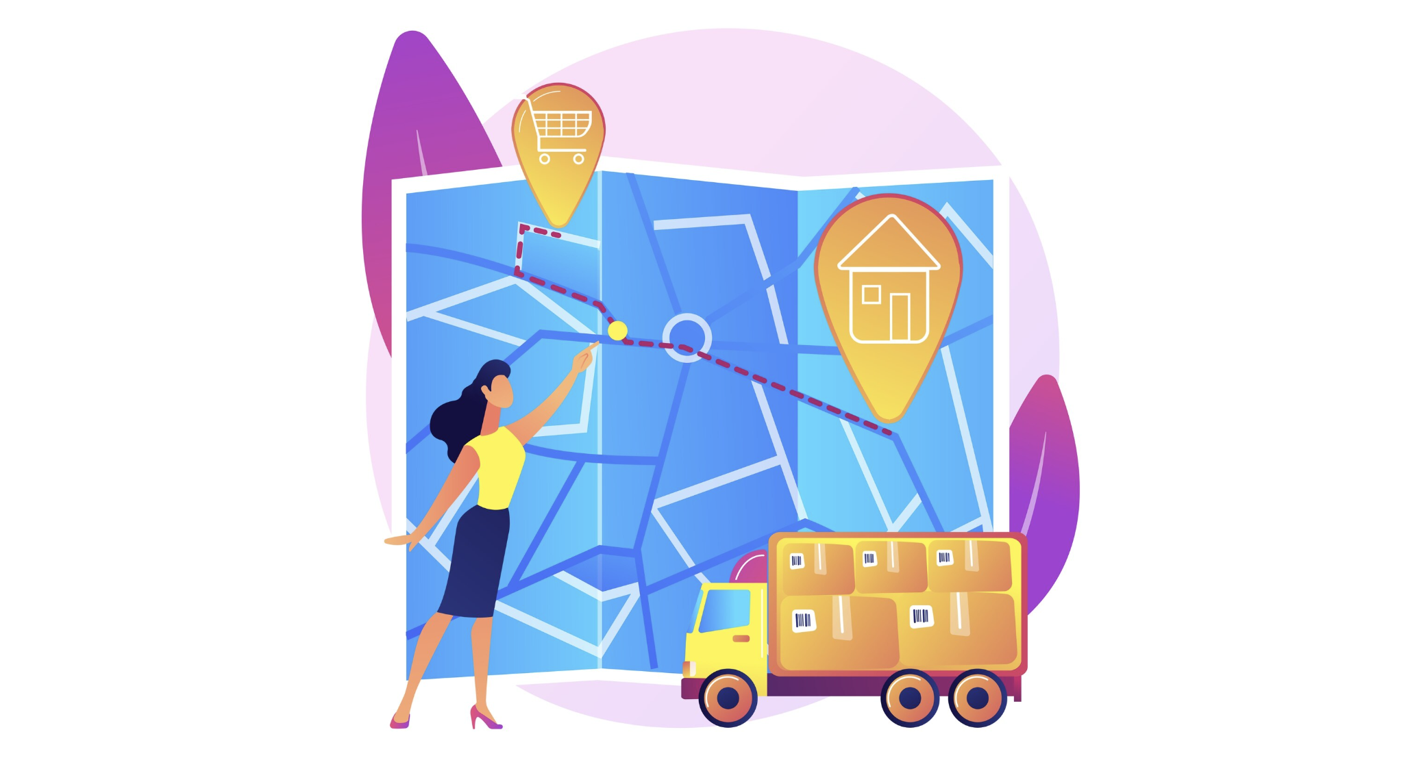
Until recently, a typical dispatcher's day looked the same: dozens of calls to drivers, the constant "Where are you now?", attempts to verify their words with the actual situation, and arguments over who wasted time where. Today, a map increasingly appears on the screen, showing who has left the warehouse, who is stuck at a client's, and who is already returning to the base. Modern telematics fleet management systems transform calls and guesswork into calm, clear control in just a few clicks.
When control was based on words
If you imagine the old workflow, it bears little resemblance to a technological process. The driver drives through the city, phone on speakerphone, and every half hour the dispatcher asks how far it is to the unloading point, whether the vehicle will make it to the second client, and why the delay is no longer 10 but 30 minutes. Every traffic jam, detour, or unscheduled stop turned into a chain of conflicts: the driver makes excuses, the manager gets nervous, the client gets angry, and the dispatcher gets caught in the middle.
The main problem was the lack of facts. There were only words and general landmarks. Even if a company already had a GPS system, it was often just a "point on the map" that required a special search to find the car and understand what was happening. This took time and didn't provide a clear logic: where the driver should be now, where they were 10 minutes ago, and how far they deviated from the plan.
What are geofences in simple terms?
Geofencing solves this problem in a very human-like way, despite the complex mathematics behind it. Imagine an invisible boundary drawn on a map around a warehouse, a shopping center, or an entire city. A car crosses this boundary, and the system immediately registers it. As soon as the vehicle enters or leaves the geofence, a log entry is made and, if necessary, a notification is sent to the responsible employee.
Essentially, a geofence is a virtual fence, minus the barriers and cameras. While a vehicle can pass through freely, the system uses it as a control point: it can be used to calculate arrival times, analyze delays, and understand the actual travel time between the base and the client. All of this happens automatically, without driver intervention or unnecessary phone conversations.
How Pilot Telematics Draws Invisible Contours
In Pilot Telematics, geofencing becomes a fully-functional tool for the company. Warehouses, bases, major clients, cities, and even entire districts that are particularly important to the business can be marked on the map. Construction sites, industrial zones, or residential areas with particularly strict truck traffic regulations can be identified.
No-go zones are a separate story. These can be areas where heavy vehicles are restricted from entering, such as the historic city center, residential courtyards, or park areas. If a driver mistakenly enters an area they shouldn't, the system immediately triggers an alert. The dispatcher sees the deviation and can suggest a safe and appropriate detour.
Another important scenario is scheduling control. If a vehicle is scheduled to enter a specific geofence within a specific timeframe, the system monitors whether it arrives on time. If the vehicle is late or early, Pilot Telematics generates notifications, allowing the manager to determine whether the problem arose in scheduling, in the warehouse, or on the road.
Less chaos and conflict, more predictability
For businesses, geofencing isn't just about control, it's also about peace of mind. When every entry and exit is automatically recorded, the arguments about whether someone was there or wasn't there simply become meaningless. All parties involved rely on the same data, not memories and emotions.
The dispatcher is freed from endless calls and can focus on what really matters: route analysis, addressing bottlenecks, and planning. The driver is less distracted from the road and doesn't feel like they're being "checked" every five minutes. The manager gets a clear picture of what's going on: they can see who's consistently keeping to schedule, who's regularly late, or who's looking for unauthorized detours.
For the average person, this means a simple thing: their order or service arrives more predictably. If a company understands how vehicles actually travel their routes, they can more accurately promise delivery times, be less likely to miss schedules, and respond more quickly to unexpected events like roadblocks or congestion.
Real-life examples: from land to construction
Let's imagine a food delivery service in a large city. Warehouses and kitchens are marked as geofences, and city districts are divided into their own zones. When a courier leaves the kitchen, the system records the departure time and calculates the expected arrival time based on the average speed in that direction. If the vehicle gets stuck in traffic and significantly lags behind schedule, Pilot Telematics alerts the dispatcher. The dispatcher can notify the customer in advance of the delivery time change, rather than making excuses after the fact.
Another example is a large construction site. Concrete mixers, dump trucks, and low-loader cranes enter the site daily. Entry and exit are geofenced. The manager can see how many trips each vehicle actually makes, whether there are any "extra" trips or unexplained downtime outside the site. If a truck unexpectedly "disappears" off the usual route, the system immediately displays the deviation, and the cause can be determined: whether it's stuck, going to refuel, or stopping for personal business.
The third scenario is garbage and waste removal. Garbage trucks operate on fixed routes, and courtyards and container sites can be designated as separate geofences. The system will show whether a vehicle has actually been to each location and how long it spent there. This is important for both management companies and residents: if a container is full, there's no longer any need to guess whether a truck actually arrived—the system data shows everything clearly and dispassionately.
An invisible assistant that works 24/7
Geofencing in Pilot Telematics is like a discreet but highly attentive dispatcher who never tires, never gets distracted, and never forgets to note anything. They don't interfere unnecessarily, but at the right moment, they provide information about the vehicle's location, the route status, and the cause of any delays.
As a result, logistics becomes less chaotic and more honest. Everyone involved, from the manager to the end client, relies on transparent data rather than guesswork. And although the map only displays neat lines and dots, behind them lies a fundamental change: a shift from endless "Where are you?" to a calm understanding of "We know exactly where you've been and when you'll be."