
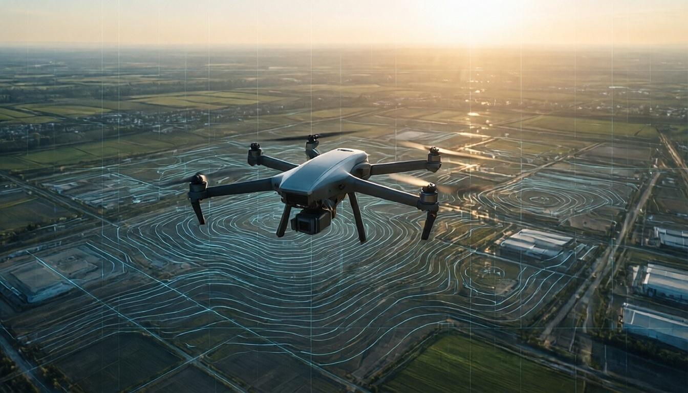
In today’s fast-paced world, where data-driven decisions reign supreme, the integration of innovative technologies is imperative for effective planning and execution. Aeroyantra Technologies Private Limited stands at the forefront of this revolution with our advanced drone mapping services. Leveraging state-of-the-art drone technology enables us to transform aerial data into actionable insights, driving efficiency across various sectors.
Understanding Drone Mapping Services
Drone mapping services utilize advanced Unmanned Aerial Vehicles (UAVs) equipped with high-resolution cameras and various sensors to capture detailed imagery and data from the sky. This comprehensive approach allows for the creation of precise topographic maps, digital elevation models, and 3D visualizations. These deliverables play a critical role in sectors such as agriculture, construction, urban planning, and environmental monitoring.
The Power of 3D Modeling
At Aeroyantra Technologies, we offer advanced 3D modeling techniques as part of our comprehensive drone mapping services. By converting high-resolution aerial images into detailed 3D models, we enable our clients to visualize their projects with unprecedented accuracy. This 3D representation helps stakeholders make better-informed decisions, streamline operations, and enhance communication during project development.
-
Precision and Accuracy: Our drones capture data with centimeter-level precision, ensuring that the models generated are not only accurate but also reliable for critical decision-making.
-
Enhanced Visualization: 3D models provide a realistic representation of projects, making it easier for stakeholders to understand spatial relationships, dimensions, and potential challenges.
-
Time Efficiency: Traditional surveying methods can be tedious and time-consuming. Our drone mapping services significantly reduce the time taken to gather data, leading to quicker project turnaround times.
Applications of Drone Mapping Services
The versatility of drone mapping services, coupled with 3D modeling, has made them invaluable in various industries:
-
Construction: Monitor project progress, site inspections, and create as-built models to ensure adherence to plans.
-
Agriculture: Assess crop health, monitor irrigation systems, and optimize fertilization schedules using precise data gathered by drones.
-
Environmental Monitoring: Track and manage natural resources, assess land use changes, and monitor environmental impacts effectively.
-
Mining and Quarrying: Conduct volumetric analysis and stockpile measurements to optimize resource extraction processes.
Understanding the Costs: Drone Survey Cost in India
When considering drone mapping services, it’s essential to understand the associated costs. The drone survey cost in India can vary widely based on several factors:
-
Scope of the Project: Larger areas or more complex projects require more data collection, which can increase costs.
-
Technology Used: Different types of sensors (e.g., RGB cameras, multispectral, thermal) will affect pricing.
-
Data Processing Requirements: Complex data analyses and high-quality 3D models can involve additional processing time and software needs.
-
Regulatory Compliance: Costs could also be influenced by the need for compliance with local aviation regulations and obtaining the necessary permissions.
Understanding these factors can help clients make informed budgeting decisions when seeking drone mapping services.
Aeroyantra’s Commitment to Excellence
At Aeroyantra Technologies, we pride ourselves on delivering exceptional drone mapping services tailored to meet the unique needs of our clients. Our team of experts brings a wealth of experience and a commitment to innovation, ensuring that every project is handled with utmost care and precision. With us, clients are not merely purchasing services; they are investing in solutions that will enhance their operational capabilities.
FAQs
Q1: What industries can benefit from drone mapping services?
A1: Drone mapping services benefit various sectors, including construction, agriculture, mining, forestry, and environmental monitoring. These industries utilize the technology for precise data collection and visualization.
Q2: How long does it take to complete a drone mapping project?
A2: The timeline for a drone mapping project varies depending on the project size and complexity. Generally, data collection can be completed in a few hours to days, while processing and analysis can take additional time depending on the deliverables required.
Q3: What kind of data can I expect from drone mapping services?
A3: Clients can expect high-resolution images, topographic maps, 3D models, and various other outputs, such as digital elevation models (DEMs) or orthomosaics, depending on the project requirements.
Q4: How does the drone survey cost in India compare to traditional methods?
A4: While the initial investment in drone survey services may seem high, the overall savings in time, labor, and increased accuracy often outweigh the costs, making drone services a cost-effective option in the long run.
Q5: Are your drone mapping services compliant with local regulations?
A5: Yes, Aeroyantra Technologies follows all regulations pertaining to UAV operations in India, ensuring that all necessary permits and certifications are in place before conducting any drone mapping services.
Conclusion
Aeroyantra Technologies Private Limited is here to bridge the gap between technology and actionable insights through our expert drone mapping services. By integrating 3D modeling, we turn aerial data into valuable insights that can drive better decision-making across diverse sectors. Whether you’re in construction, agriculture, or any other industry, our tailored solutions are designed to meet your needs while keeping budget considerations, like drone survey cost in India, in mind. Partner with us to take your projects to new heights!